MacLehose Trail Hike (Section 2)
麥理浩徑第二段(浪茄至北潭凹)
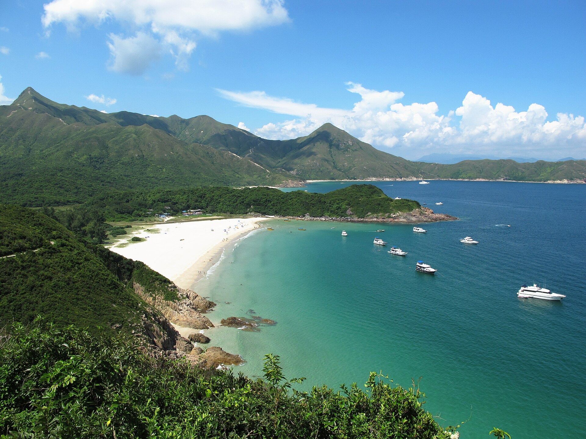
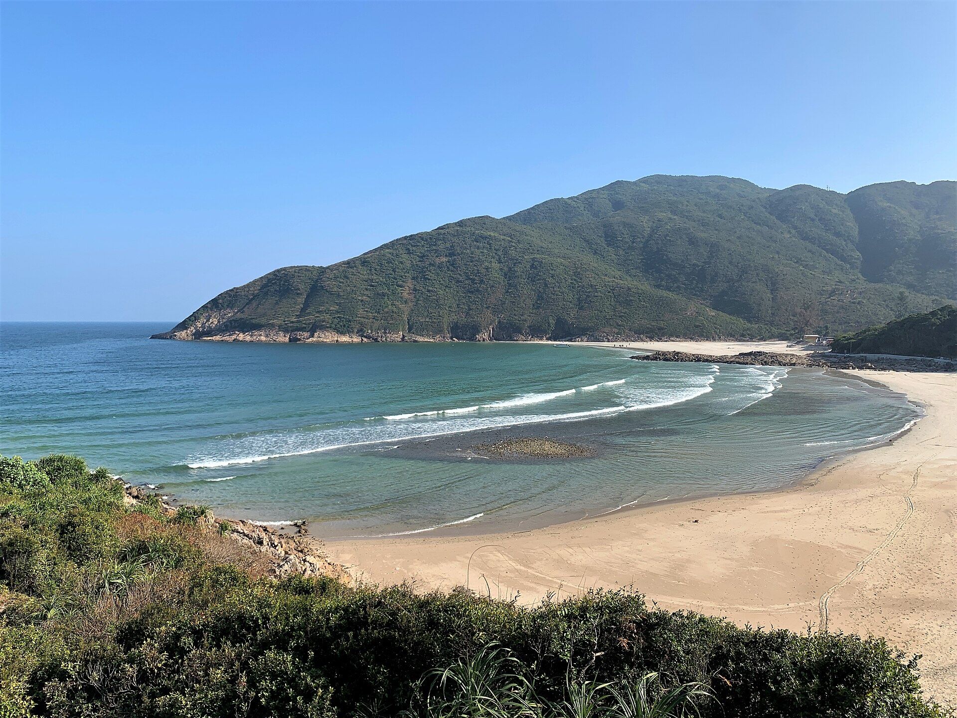
One of the most popular stretches of Hong Kong's 100 km MacLehose Trail, per AFCD: 13.5 km, about 5.25 hours (AFCD). It climbs Sai Wan Shan to Sai Wan beach, then follows the Tai Long Wan coast past Ham Tin to Chek Keng.
See
- Sai Wan beach (西灣)
- Ham Tin Wan (咸田灣)
- Chek Keng (赤徑): a village over 200 years old, with a pier, rocky beach and mangroves
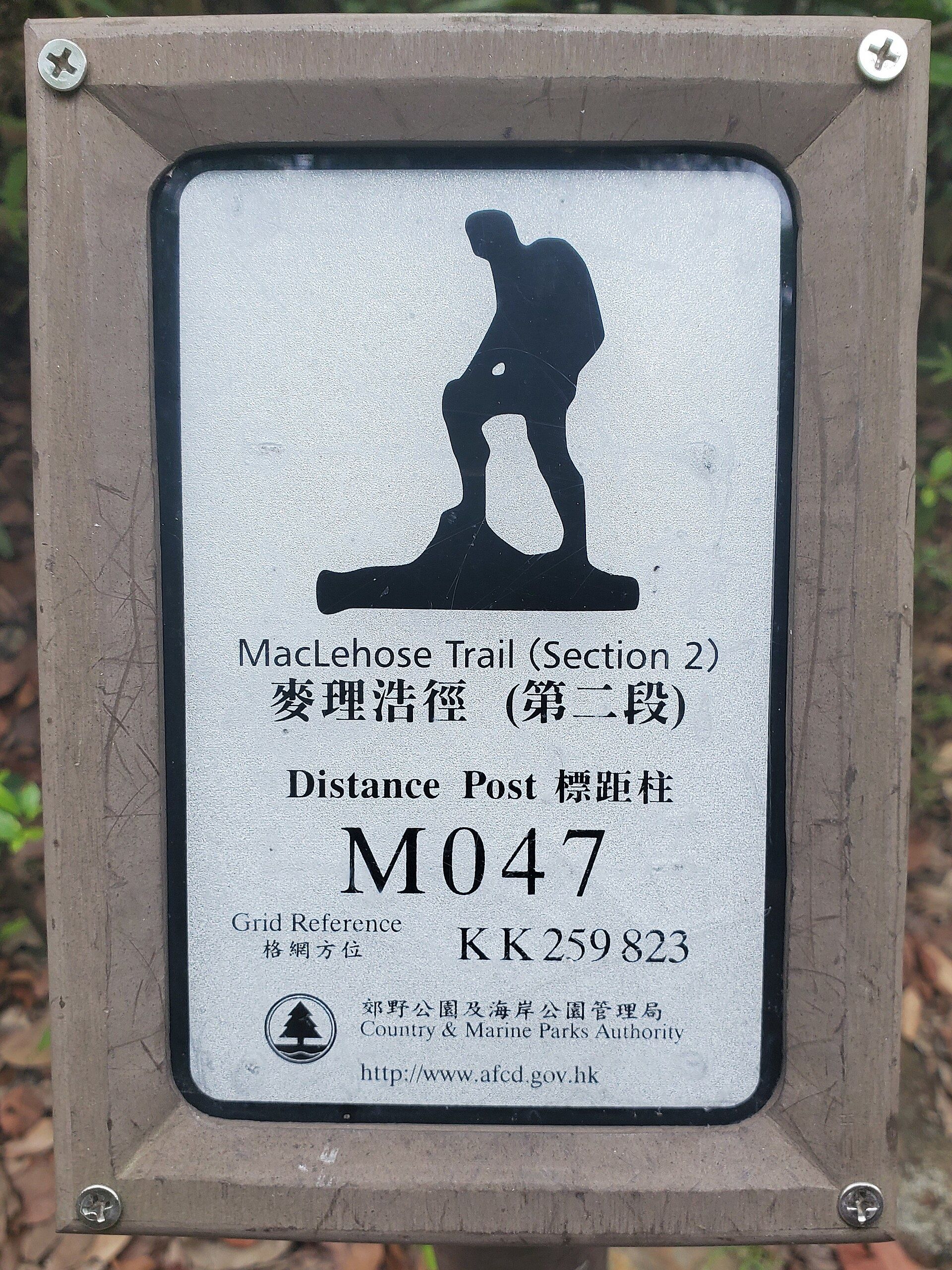
Tip. There is little shade and a steep 314 m climb. Check the Observatory forecast before you go, carry plenty of water, don't hike alone, and tell someone your route. Note the number on the distance posts (about every 500 m) so you can give rescuers your location (AFCD).
How to get there
西貢西灣路 西灣亭(步行往浪茄起點)
- Address
- Trail access: Sai Wan Pavilion, Sai Wan Road, Sai Kung East Country Park (the section officially starts a short walk away at Long Ke)
- Note
- Sai Kung East Country Park shown. There are others.
- When to go
- Start early in the day; the section takes about 5 hours
- Booking
- No booking. To the start: residents' bus NR29 from Sai Kung town center to Sai Wan Pavilion, then walk to Long Ke; or minibus 9A from Pak Tam Chung bus terminus to East Dam (Sat, Sun & public holidays only), then walk. From the end at Pak Tam Au: KMB 94, 96R (Sat, Sun & public holidays) or minibus 7 (AFCD).
Search the Chinese name in Amap, or tap Taxi card and show the screen to the driver.